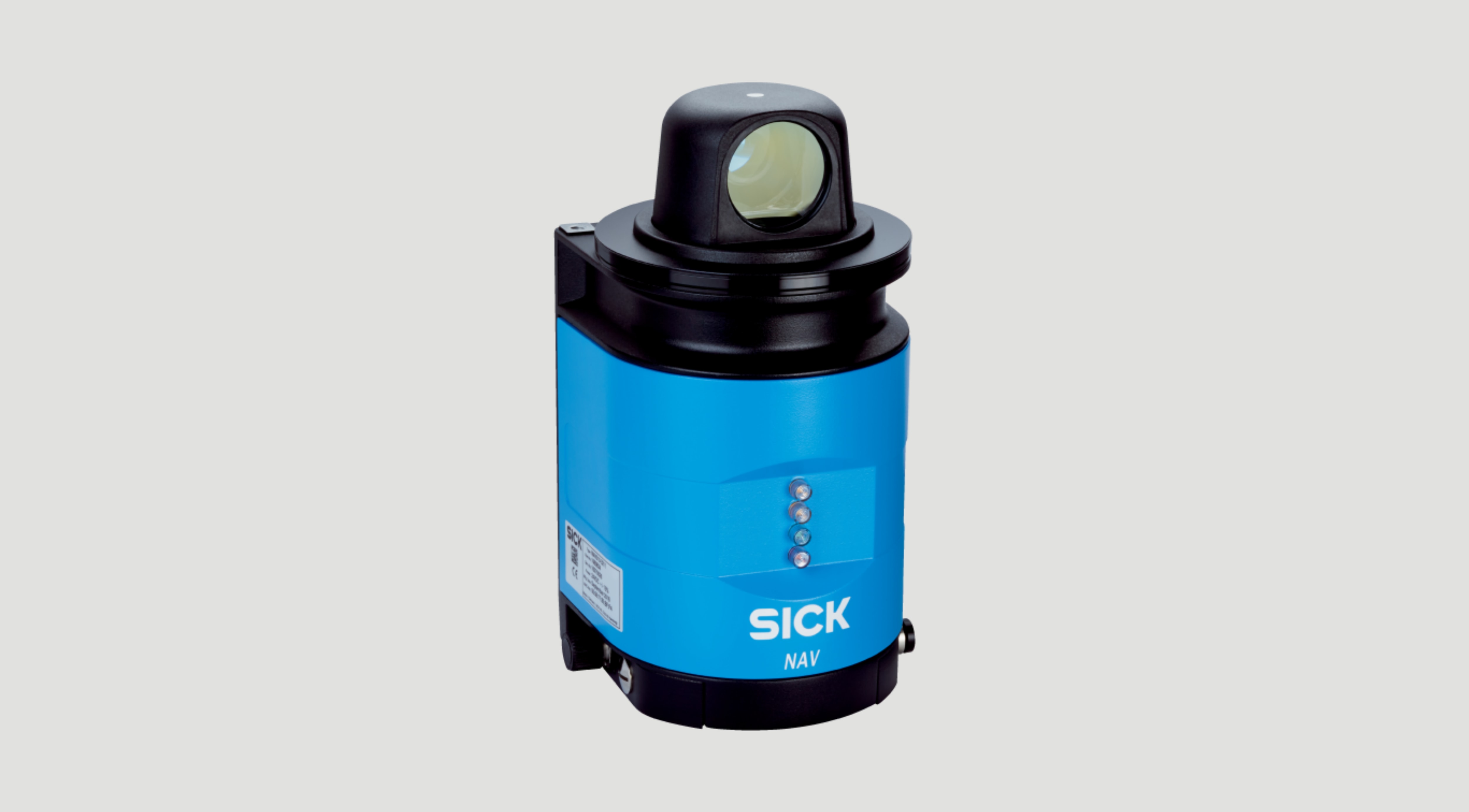
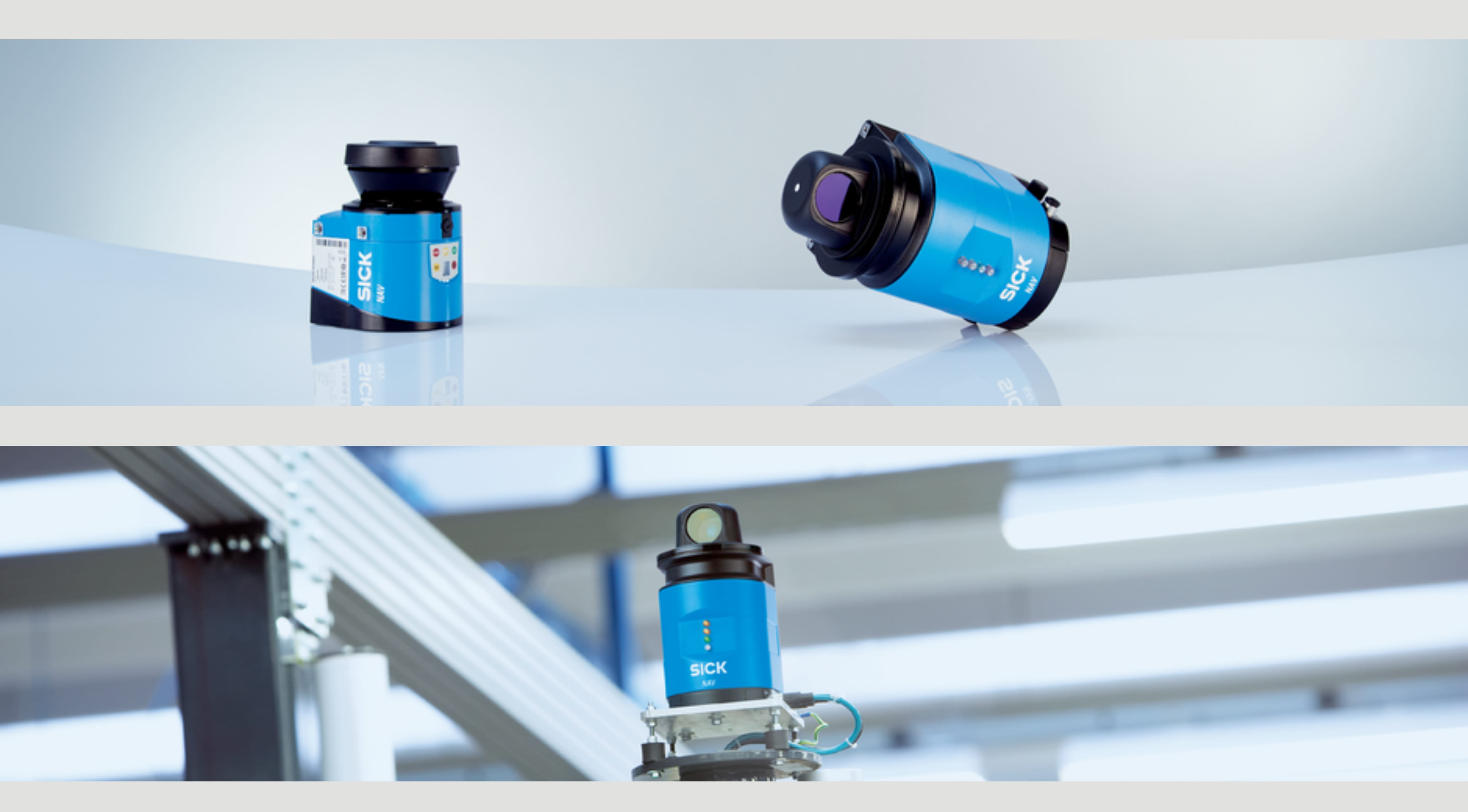
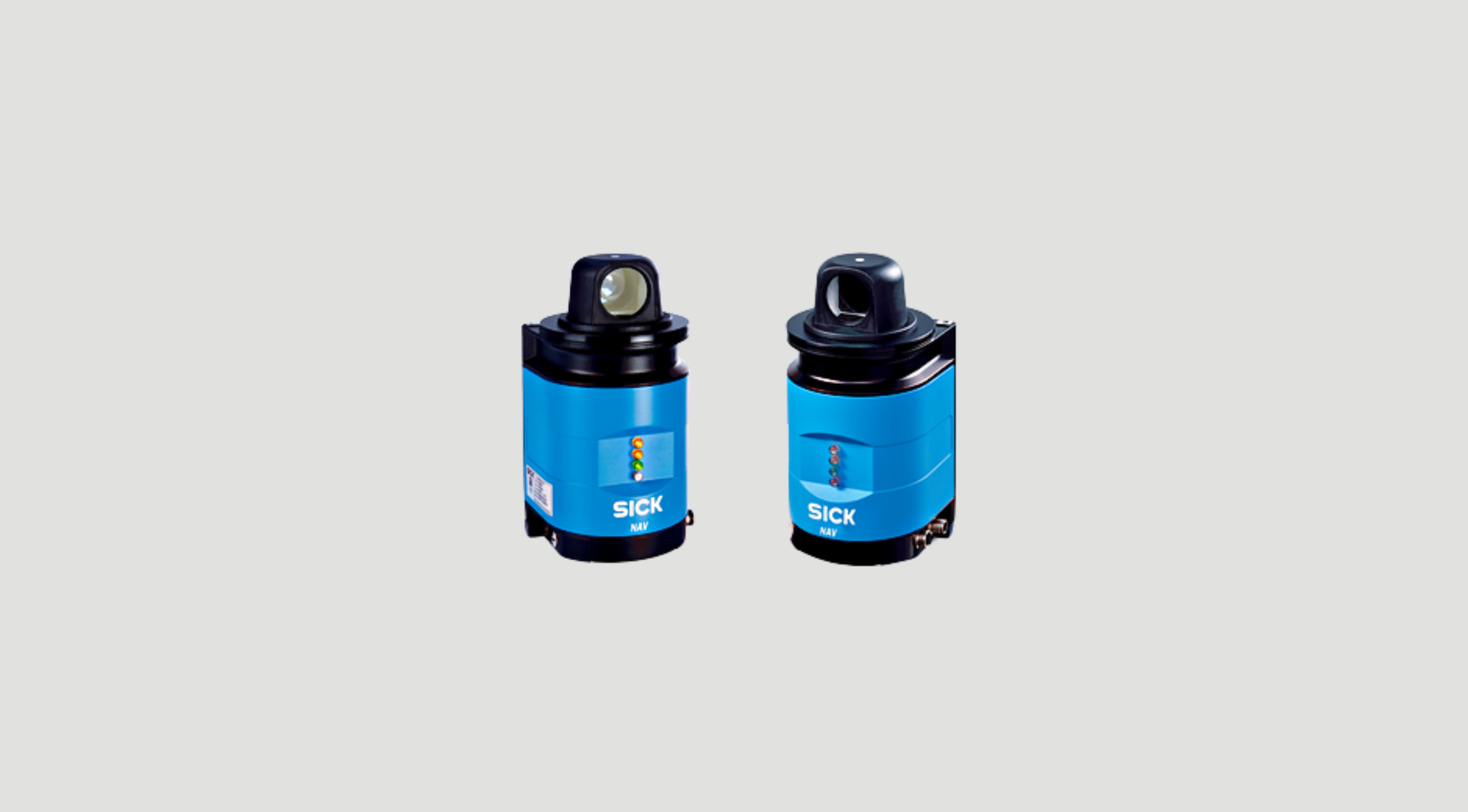
Technical Information

  • Precise, fast collection of spatial contour data and/or simultaneous determination of reflector data (managing up to 12,000 reflectors) in real time. NAV 2D LiDAR sensors provide highly accurate spatial contour data about distance, angle, and remission, as well as reflector data, at high speed over a scanning path of up to 360 degrees. 
  • Integrated evaluation of measured data reduces the computing load in the vehicle computer, minimizing power consumption and reducing operating costs 
  • High flexibility, since line guidance is also possible in areas without reflector marks, and routes can be easily modified using teach-in mode 
  • Precise measurements in harsh industrial environments thanks to IP65 housing for indoor applications 
  • The combination of spatial contour data and reflector data (mixed-mode navigation) enables line-guided vehicles to travel in areas where it is not possible to position reflector marks (automated truck loading or block storage areas, for example). 
  • Hardware synchronization output ensures precise control 
  • Long scanning range: up to 70 m on reflectors (up to 35 m on black targets) 
  • High internal computing power and individual AGV configuration 
  • Angular resolution of up to 0.1 degrees 
  • Fields of applications  
    • Automated guided vehicles, cleaning robots and tow trucks  
    • Determination of system positions, absolute and relative to each other  
    • Location determination for mobile systems  
    • Contour-based navigation for fully automatic truck loading  
    • Deployment as permanent reference system for line-guided AGVs  
    • Deep stacking
Model NAV350-3232 NAV340-3232 NAV310-3211
Working range

0.5 m - 250 m

0.5 m - 70 m on reflectors

0.5 m - 250 m

0.5 m - 70 m on reflectors

0.5 m - 250 m

Aperture angle 360°
Enclosure rating IP65
Color Light blue (RAL 5012)
Integrated application

Navigation

-

-

Connection type 3 x M12 male connector/female connector
Scanning frequency

8 Hz, ± 5 %

5 Hz - 20 Hz