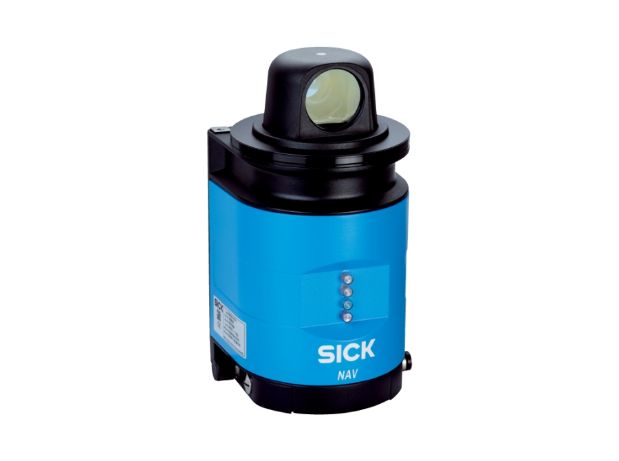
Model: NAV350-3232, NAV340-3232, NAV310-3211
Part no.: 1052928, 1060821, 1060834
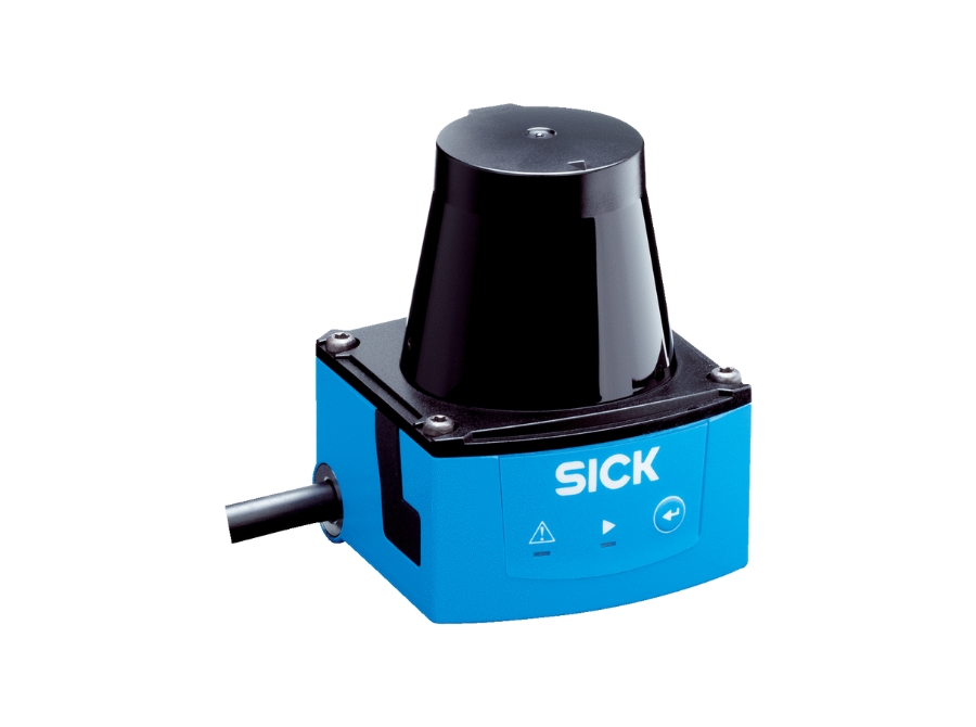
Precise laser navigation for maximum efficiency


| Model | NAV350-3232 | NAV340-3232 | NAV310-3211 |
| Working range |
0.5 m - 250 m 0.5 m - 70 m on reflectors |
0.5 m - 250 m 0.5 m - 70 m on reflectors |
0.5 m - 250 m |
| Aperture angle | 360° | ||
| Enclosure rating | IP65 | ||
| Color | Light blue (RAL 5012) | ||
| Integrated application |
Navigation |
- |
- |
| Connection type | 3 x M12 male connector/female connector | ||
| Scanning frequency |
8 Hz, ± 5 % |
5 Hz - 20 Hz |
|